In 2021, Eco-Kare International received $60,000 in Ganawenim Meshkiki’s Eastern Georgian Bay Initiative funding to develop a process that combines Indigenous engagement, land use, habitat protection and connectivity, and road ecology into a comprehensive approach that helps conserve and protect species at risk (SAR) reptiles. Central Ontario is home to different SAR reptiles, including: Massasauga rattlesnake, Eastern foxsnake, Eastern hog-nosed snake, Blanding’s turtle, and Eastern musk turtle. These species are under increasing threat of road mortality and habitat fragmentation from roads.
Road ecology mitigation requires long-term planning and habitat management to be effective. Approaches such as crossing structures act as ecological corridors through road networks and are necessary to connect naturally occurring habitat. In 2021, Eco-Kare brought together a team including contributions and contributors from Eco-Kare, Wildlands League, the Couchiching Conservancy, the Muskoka Conservancy, and 4Directions Conservation Consulting Services, to focus on a key corridor area that would connect the Georgian Bay area with the Kawartha Highlands. The key core area was in the Black River Wildlands and the neighboring Muskoka Kahshe River area. This area includes several conservation reserves, nature reserves, and unique habitat types bisected by highways and arterial roads that support several SAR. The team used the baseline connectivity mapping completed by the Nature Connectivity Project led by the Ministry of Environment and Climate Change, and Circuitscape mapping to identify ecological corridors. They then overlaid relevant road ecology, land use and natural habitat data (e.g. wetlands) to prioritize locations for both land acquisition and road mitigation measures along the road network.
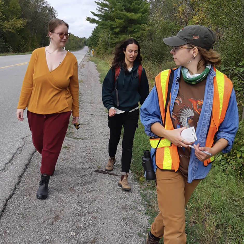
The team also conducted a citizen science workshop to build interest and gather feedback for formalizing a road ecology citizen science project run by volunteers. The project team created a database that defines 1km road segments that volunteers can select and survey during the turtle nesting season from May to July. The goal is that the database will be able to guide future data collections and be expanded to inform transportation agencies to prioritize decisions regarding where to implement mitigation approaches and what type(s) of approach will have the greatest benefits to SAR.
Over the course of 2021 project efforts, the team engaged numerous partners and groups and hopes to build on those relationships in the future. The team identified seven First Nations for engagement and drafted a detailed Implementation Plan to advance these conservation efforts within the Williams Treaty Area formally known as the Treaty 20 area. The goal is to teach and train all interested participants about road ecology and solutions.
Next steps include preparation of feasibility assessments at the prioritized locations to define the scope, opportunities, and detail of potential mitigation for the target species. Eco-Kare will also work with the relevant transportation agencies and non-profit organizations such as Scales Nature Park to integrate field-based research and implement feasible strategies. In addition, they will work with the Land Trusts to prioritize and assess potential for land acquisition in the defined ecological corridors where road mitigation is prioritized. Last, Eco-Kare will implement their developed Indigenous Engagement Plan for the core area.


