Georgian Bay Biosphere
Protecting Species at Risk Habitat through Regional Biodiversity Mapping (BMaP)
Eastern Massasauga rattlesnake (Sistrurus catenatus), Blanding’s Turtle (Emydoidea blandingii), Eastern Foxsnake (Pantherophis vulpinus)
Eastern Massasauga rattlesnake (Sistrurus catenatus), Blanding’s Turtle (Emydoidea blandingii), Eastern Foxsnake (Pantherophis vulpinus)

Project Title: Protecting Species at Risk Habitat through Biodiversity Mapping (BMaP) (formerly Regional Natural Asset Management Planning or NAMP)
Funding Recipient: Georgian Bay Mnidoo Gamii Biosphere
Funding Awarded: $618,500 over 4 years ($77,500 in 2024, $183,000 in 2025, $184,000 in 2026 and $174,000 in 2027)
Project Partner: West Parry Sound Geography Network (WPSGN), McMaster University, and the University of Waterloo, Henvey Inlet First Nation, Magnetawan First Nation, Shawanaga First Nation, Wasauksing First Nation, Moose Deer Point First Nation, and Wahta First Nation, Township of the Archipelago, Seguin Township, Township of Carling, Municipality of McDougall, Township of McKellar, Town of Parry Sound, and the District of Muskoka, Georgian Bay Land Trust, Georgian Bay Forever, Ecophylla Consulting, and Georgian Bay Islands National Park
Targeted Species at Risk: Eastern Massasauga rattlesnake (Sistrurus catenatus), Blanding’s Turtle (Emydoidea blandingii), Eastern Foxsnake (Pantherophis vulpinus)
Project Status: Ongoing (2024-2027)
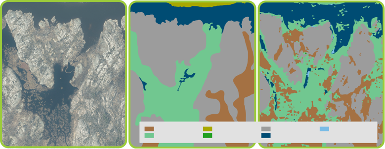
Over the past two years, the Georgian Bay Mnidoo Gamii Biosphere (GBB) has made strong progress on its four-year project, Protecting Species at Risk Habitat through Regional Natural Asset Management Planning, with support from Ganawenim Meshkiki. The project aims to create an open-source habitat mapping database to strengthen SAR conservation in the Eastern Georgian Bay region, particularly in the context of increasing development pressures and climate change impacts.
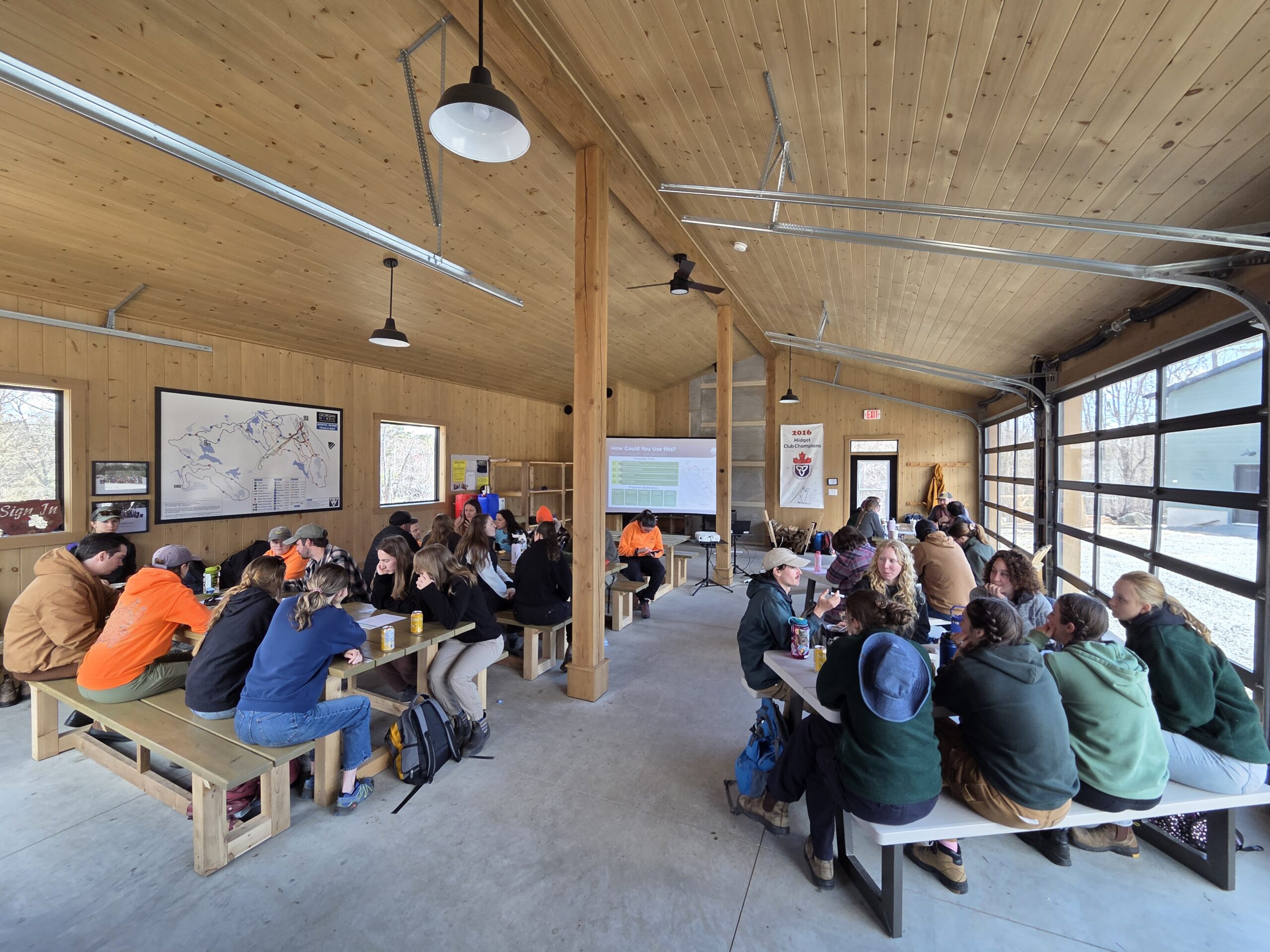
In 2025, the project advanced significantly through collaboration, technical development, and fieldwork. GBB convened regular Project Steering Committee and Technical Working Group meetings, bringing together First Nations, municipalities, conservation organizations, and academic partners to guide implementation and align priorities. Engagement with First Nation partners was conducted through land department meetings and other forums, with data governance guided by co-developed Memorandums of Understanding that uphold Indigenous data sovereignty and OCAP® principles.
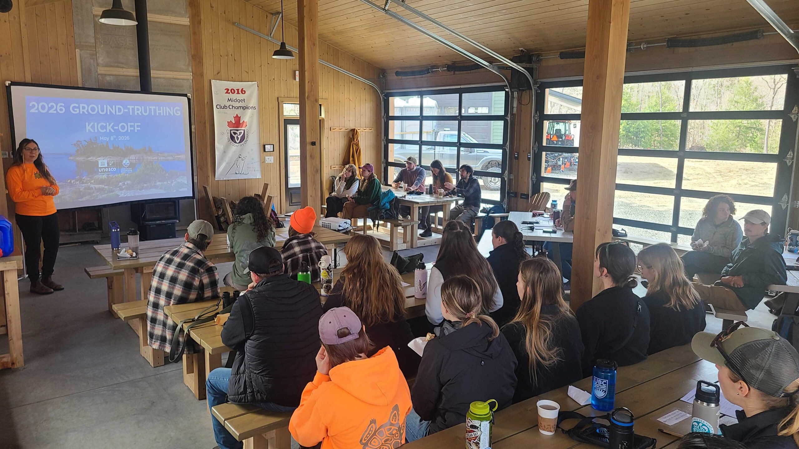
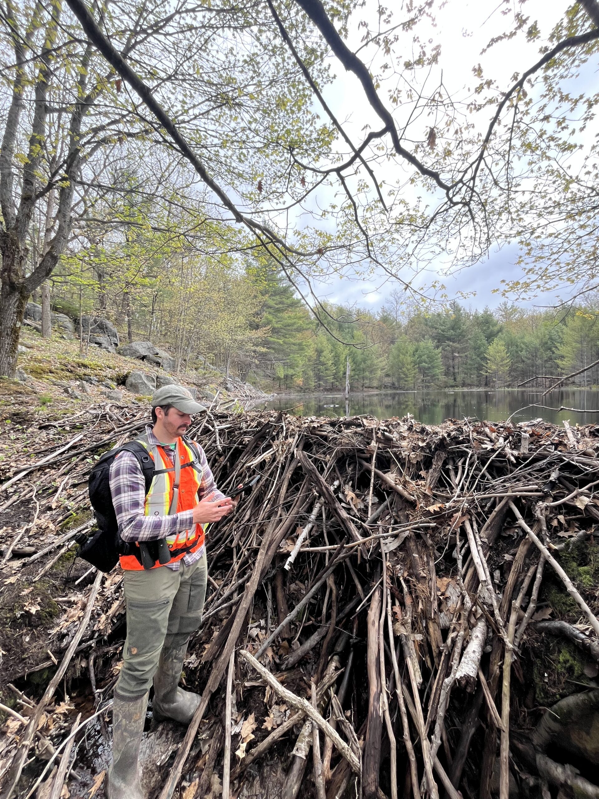
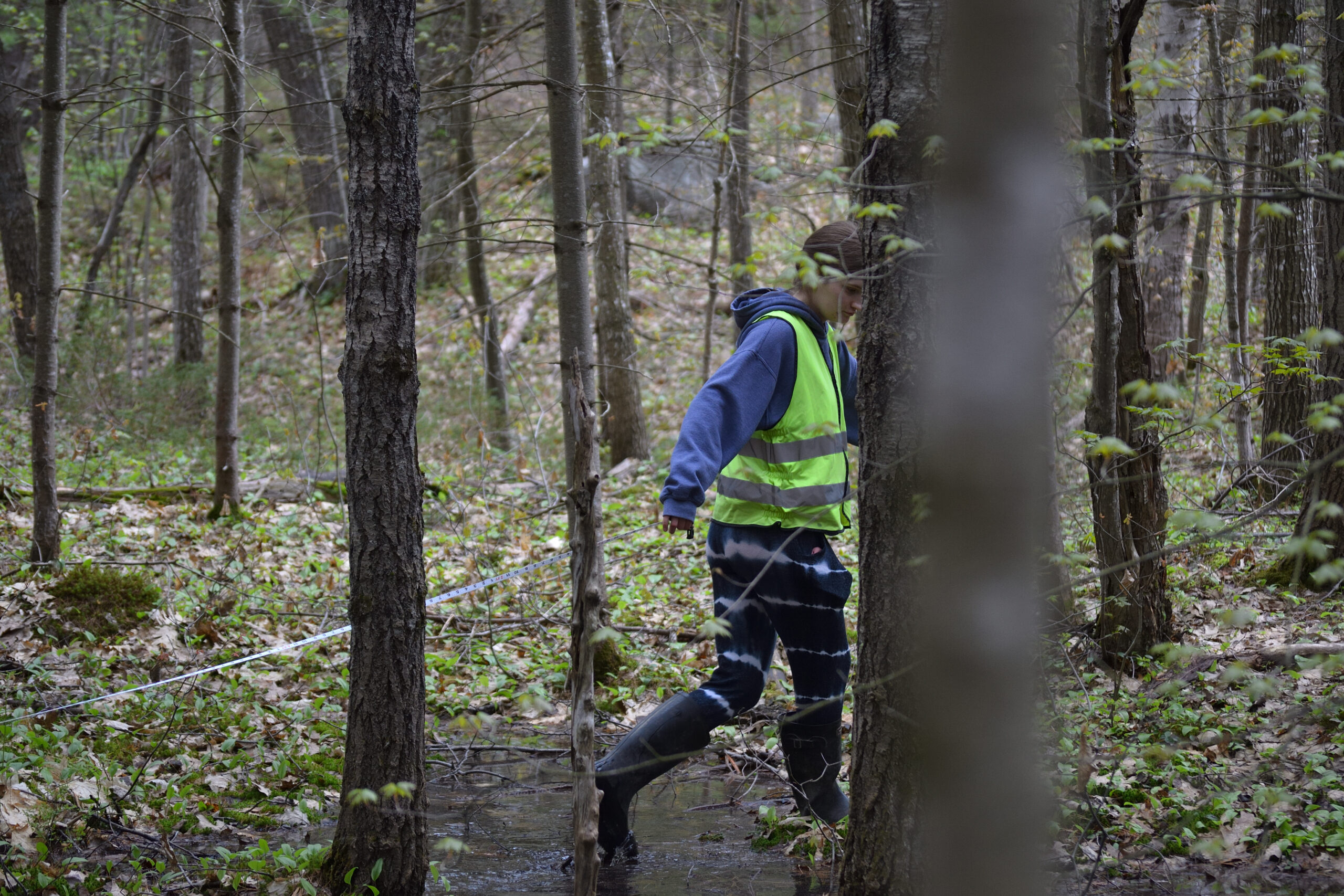
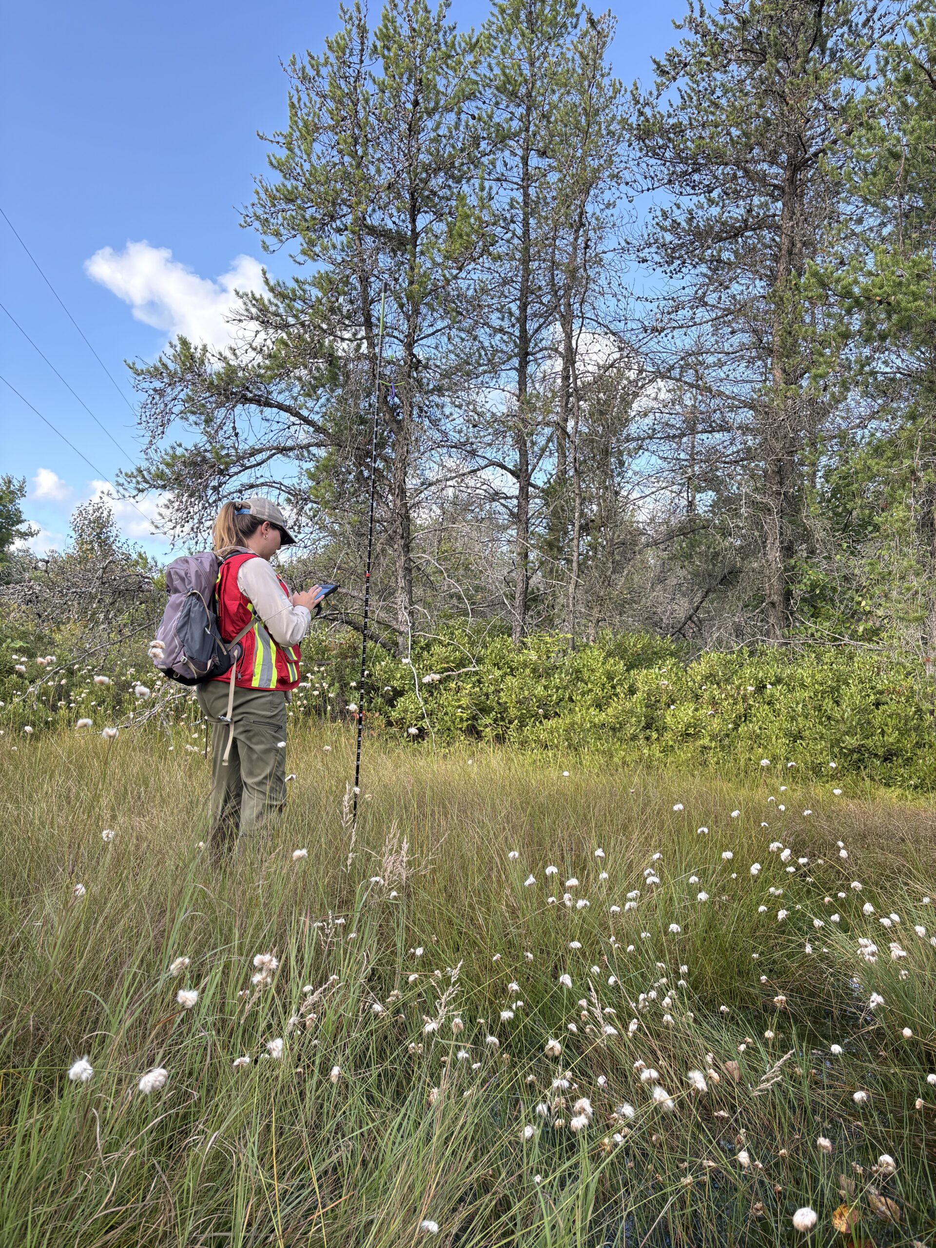
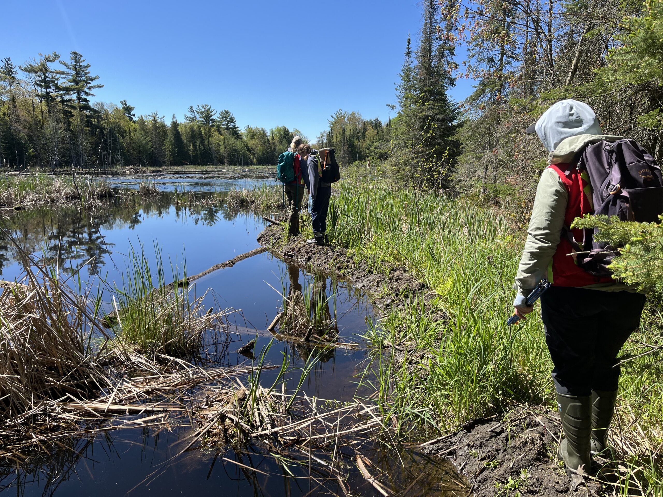
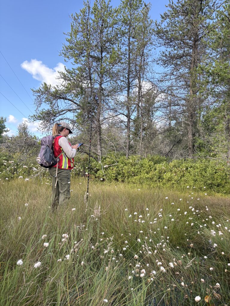
Substantial progress was made in mapping, modelling, and tool development. Ground-truthing data were collected in partnership with the University of Waterloo’s Wildlife Ecohydrology and Conservation Lab across multiple landscapes, including three First Nations, provincial parks, conservation reserves, and private, Crown, and Treaty lands. This work integrated Western science and Indigenous Knowledges and resulted in the mapping of more than 38 square kilometres of habitat, over 1,100 habitat polygons, 92 wildlife observations, and 156 natural and human disturbances. Community members from Wasauksing First Nation and Moose Deer Point First Nation contributed 171 volunteer hours to field verification efforts. Researchers completed the first iteration of the regional habitat model, began drafting a Habitat Inventory (Natural Asset Inventory) Report, and identified priority areas and data gaps to guide further fieldwork in 2026.
The project is already delivering important outcomes by building capacity among Indigenous communities, municipalities, conservation organizations, and academic institutions. The tools and data being developed support more informed land-use planning, improved prioritization of SAR habitat protection, and the integration of biodiversity knowledge into care-taking and management decisions. Looking ahead, GBB will continue refining the habitat model through additional quality assurance and field verification, ensure tools remain accessible and relevant, explore options for data hosting and policy integration, and seek additional funding to support fire risk modelling and climate-related assessments. Regular working group meetings and workshops will continue to sustain momentum and respond to evolving regional needs.

For more information about the ‘Protecting Species at Risk Habitat through Regional Natural Asset Management Planning’, please visit the links below.
Biodiversity Mapping Project Brief