Project Title: Protecting Species at Risk Habitat through Biodiversity Mapping (BMaP) (formerly Regional Natural Asset Management Planning or NAMP) Funding Recipient: Georgian Bay Mnidoo Gamii Biosphere Funding Awarded: $618,500 over 4 years ($77,500 in 2024, $183,000 in 2025, $184,000 in 2026 and $174,000 in 2027) Project Partner: West Parry Sound Geography Network (WPSGN), McMaster University, and the University of Waterloo, Henvey Inlet First Nation, Magnetawan First Nation, Shawanaga First Nation, Wasauksing First Nation, Moose Deer Point First Nation, and Wahta First Nation, Township of the Archipelago, Seguin Township, Township of Carling, Municipality of McDougall, Township of McKellar, Town of Parry Sound, and the District of Muskoka, Georgian Bay Land Trust, Georgian Bay Forever, Ecophylla Consulting, and Georgian Bay Islands National Park Targeted Species at Risk: Eastern Massasauga rattlesnake (Sistrurus catenatus), Blanding’s Turtle (Emydoidea blandingii), Eastern Foxsnake (Pantherophis vulpinus) Project Status: Ongoing (2024-2027)
Project Description
In 2024, the GBB executed Phase 1 and initiated Phase 2 of its four-year project. The project aims to establish an open-source, region-wide natural asset inventory (NAI) and geospatial habitat mapping database for Ecodistrict 5E-7. The project targets priority SAR within the region, specifically emphasizing actions to reduce overwintering mortality for the Eastern Massasauga Rattlesnake (Sistrurus catenatus) using ecohydrological mapping. Other key regional reptiles and wildlife benefitting from these natural asset management and habitat recovery tools include the Blanding’s Turtle (Emydoidea blandingii) and the Eastern Foxsnake (Pantherophis vulpinus). This initiative addresses threats from development and climate change, enhances biodiversity conservation, and provides vital decision-making tools for regional land management, land use policy, and local care-taking.
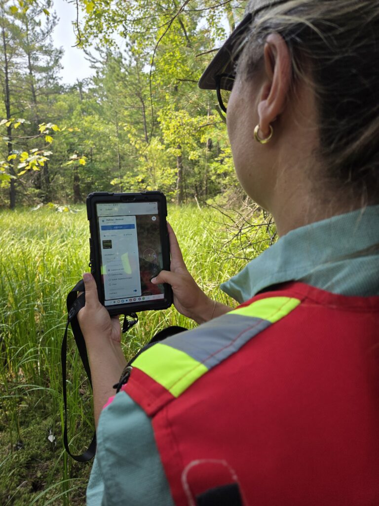
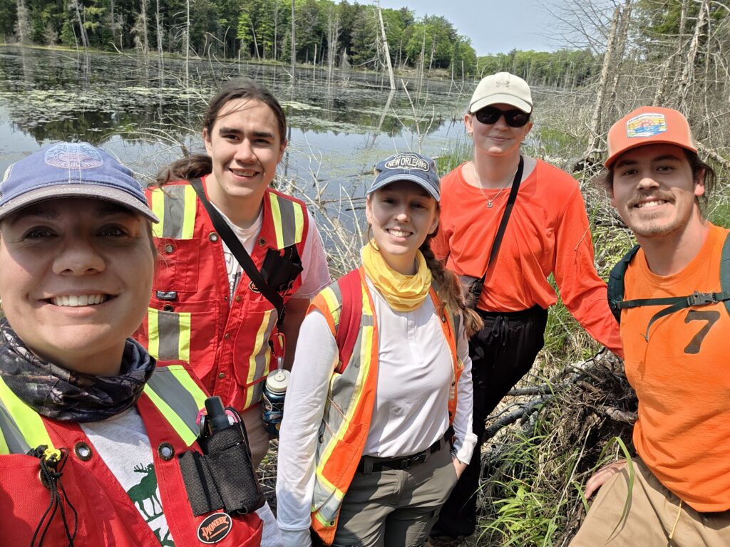
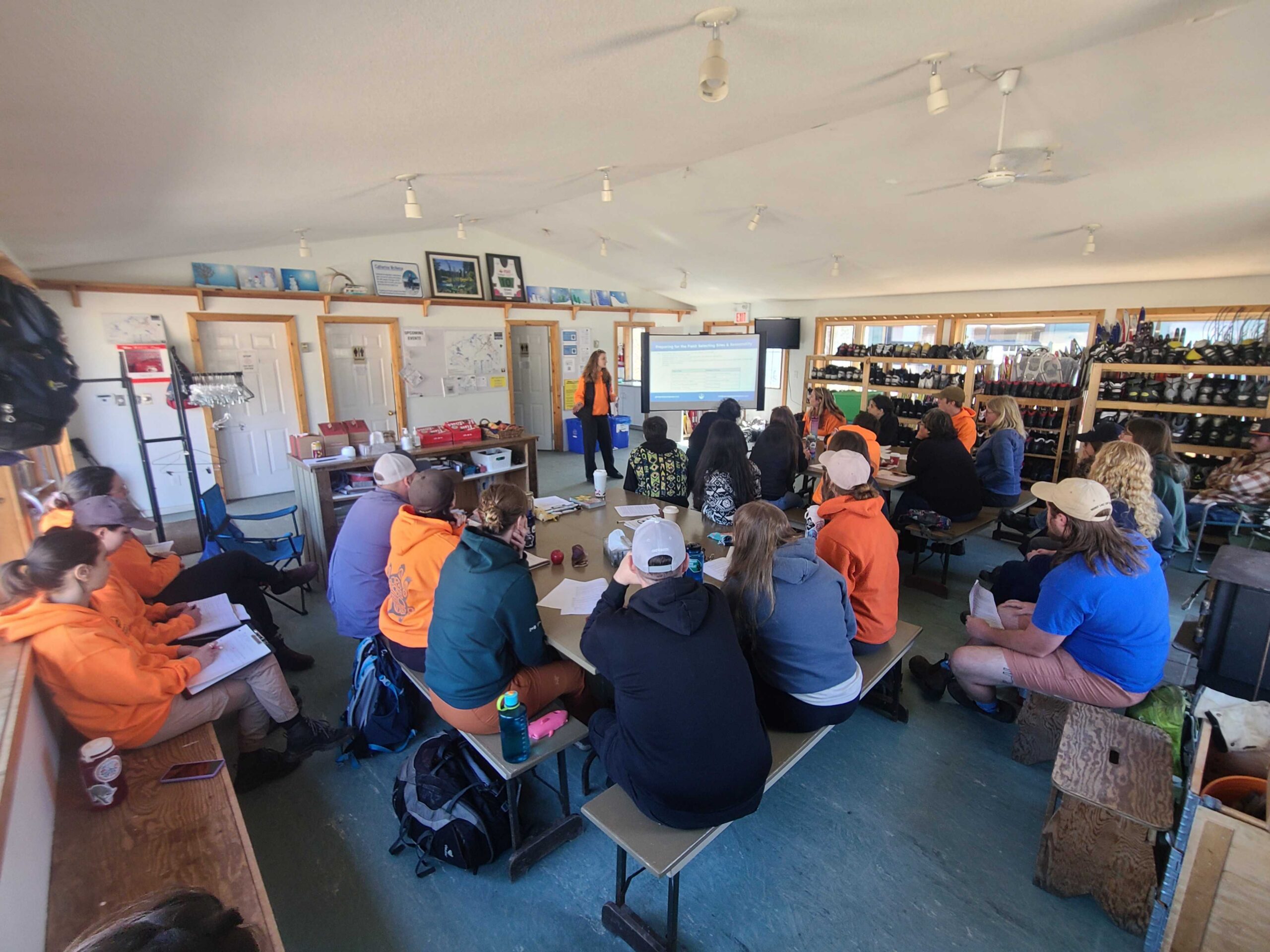
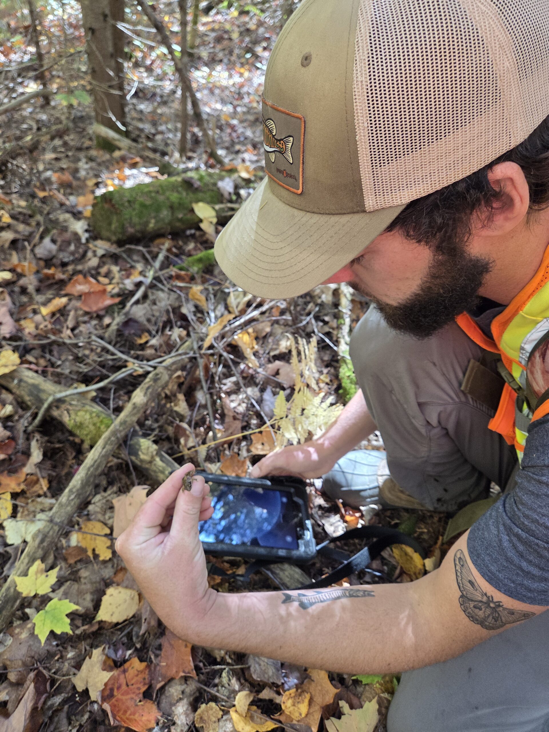
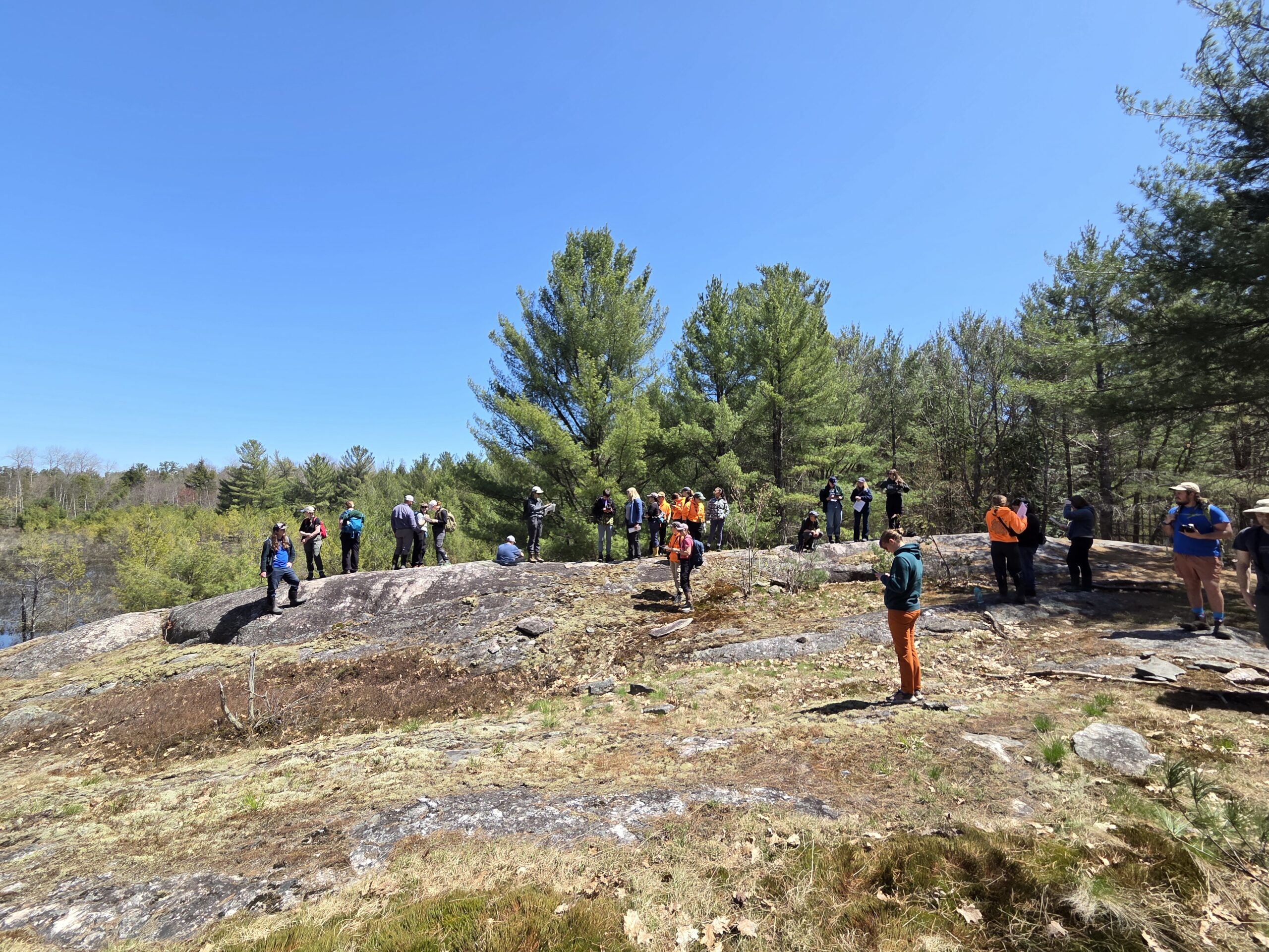
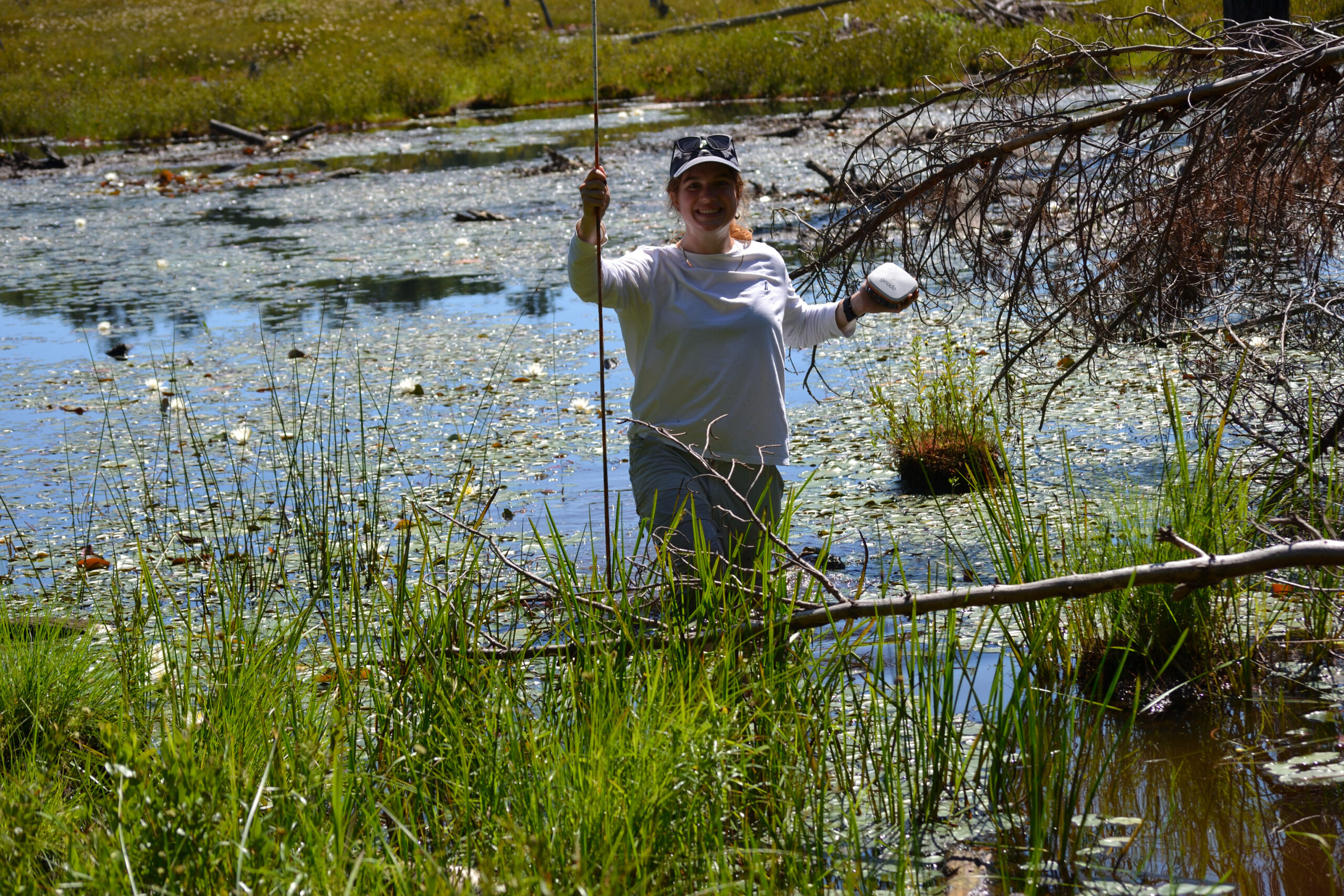
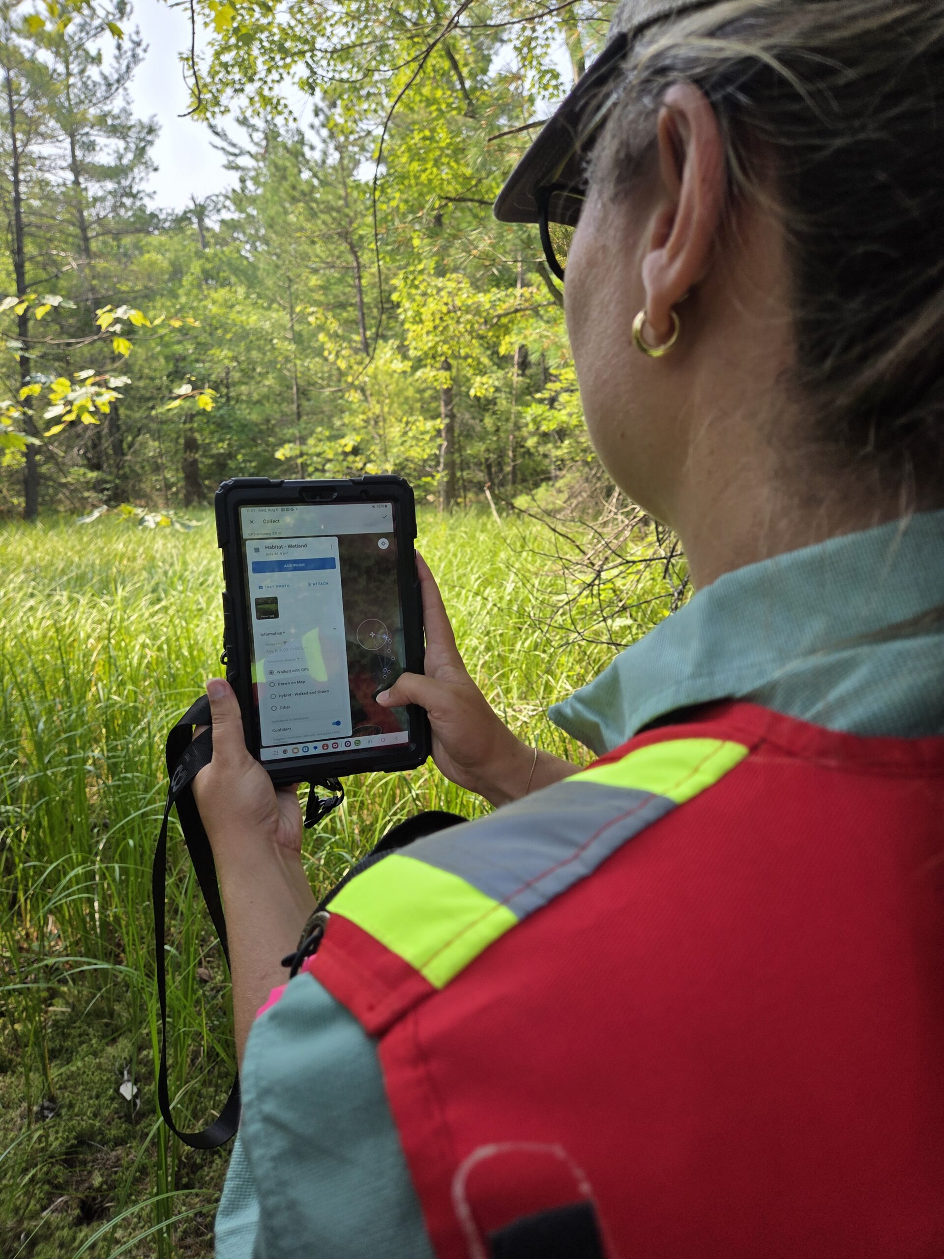
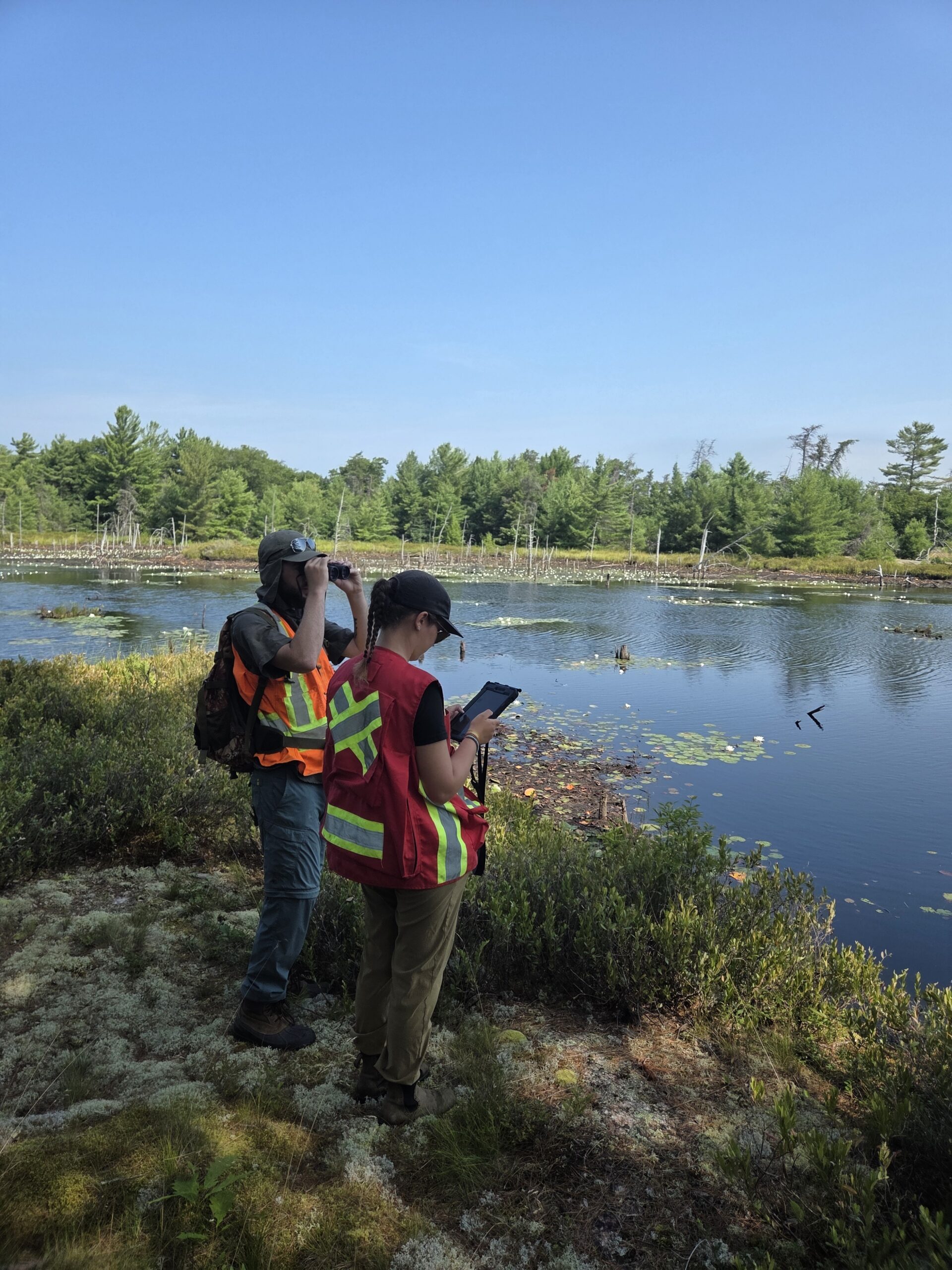
Key accomplishments during 2024 focused on establishing governance, conducting stakeholder engagement, and advancing spatial modeling. GBB successfully formed a Project Steering Committee and Technical Working Group. Strategic engagement included hosting a Project Kick-Off Workshop, a Land Use Policy & Tools Review Workshop with municipal planners, and a Partner Outputs Scoping Workshop. Academic partners from the University of Waterloo and McMaster University completed a Data Gap Analysis and engineered a pilot NAI landcover classification model for the Dinner Lake test site. Additionally, GBB developed a draft ESRI Field Maps/Survey123 application to prepare for regional Ecological Land Classification (ELC) field-verification and ground-truthing scheduled for 2025. Knowledge mobilization efforts also commenced with project briefs, newsletter features, and the preliminary development of a dedicated project website.
Further Details
For more information about the ‘Protecting Species at Risk Habitat through Regional Natural Asset Management Planning’, please visit the links below.